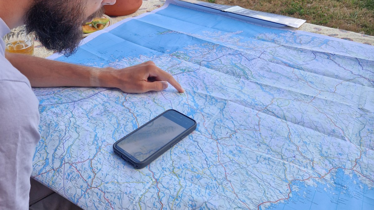
How to plan a long trip ?
It's actually the first time for us to hike this long distance. But here is how we proceed. Let's see how it goes!
Splitting the distance
The first thing we did was...
Stalking!
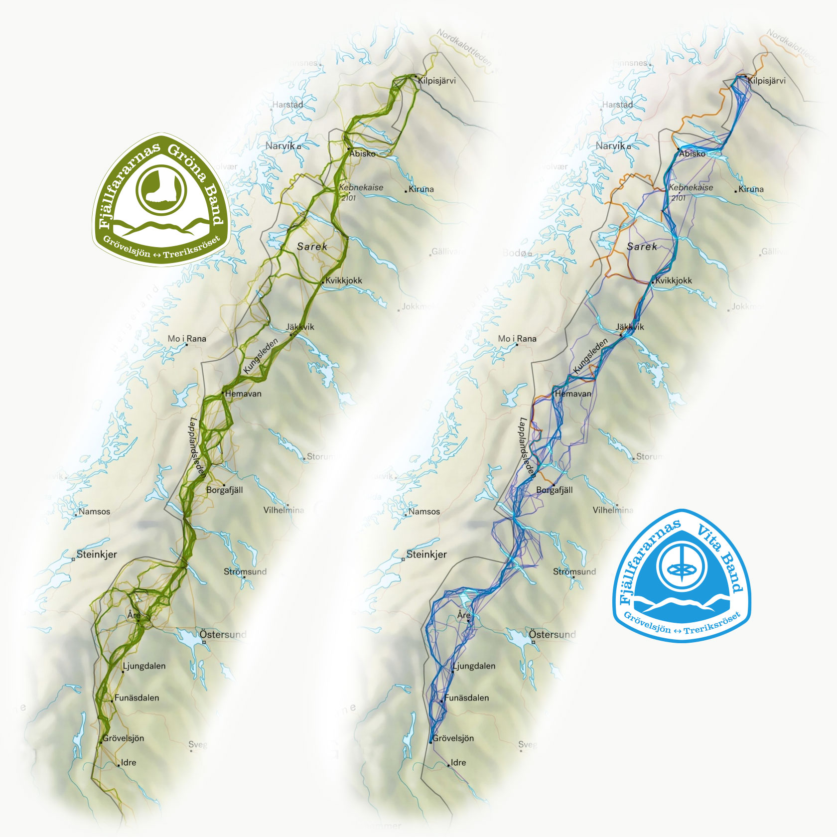
We looked at what others have done before for inspiration. Some do 40km per day, while some do 15km.
Gröna bandet has a great website with tons of information on the operation and all tips and tricks: https://www.vitagronabandet.se/
Also, there are a few more personal things to take into consideration when choosing the daily hiking distance. Most importantly, we have considered 2 things.
Our overall fitness and knowledge of our own capabilities. This we have gained by hiking and running. We can estimate how long we can hike with what elevation gain. Tracking our hikes has helped to gain more detailed information.
The weight of your packbag. The more days you hike, the more food you need, and the heavier your backpack is. But if your backpack is lighter, you can cover a longer distance and then need less food for the section.
We calculated that we need around 600g to 800g of food per day (dehydrated and light food) to cover the Kcal needed per day. For a 100km section:
15km covered per day = ~6 days = ~4kg of food
25km covered per day = 4 days = 2,5kg of food
Almost 2kg difference is huge!
A bonus factor that is specific to this hike is refilling. We need to send parcels to dedicated spots for our food supplies/medications, etc.
After planning the distances and parcels, we decided to divide the whole distance into 8 sections from 100 to 200km (5-9 days).
This way, we can plan each section as its own about a week-long hike.
Mapping the hike
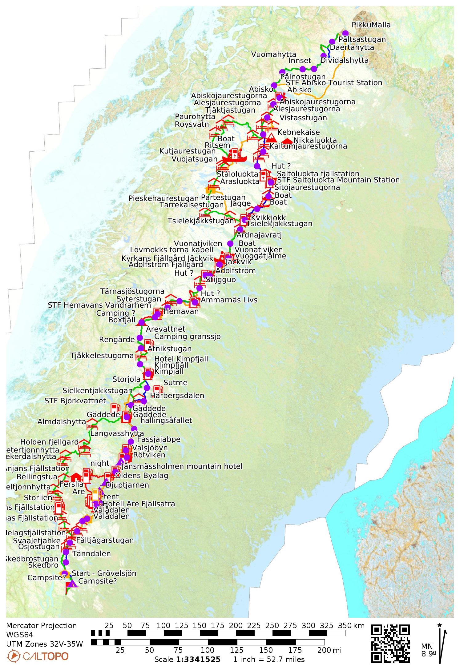
We mainly used the app called Caltopo because it has the Swedish and Norwegian topo map offline on the mobile app (with a subscription)
Based on the Gröna Bandet Website, extra info and map checking we add the information useful (shopping, bridge, boat, etc).
The Gröna Bandet has some rules, and concerning the trail itself we are free to choose within the following rules:
At both start and finish, place your hand on the mountain station’s “Blue Door” in Grövelsjön or the boundary marker at Treriksröset.
Participants choose their own route through the mountains, but must pass west of or through the following locations:
The eastern tip of Torneträsk
Nikkaluokta
Saltoluokta
Jäckvik
Håkafot
Finally, during a few evenings, we pointed out approximately every campsite to estimate the duration of each section.
During the hike
We will use several tools to find our way. Even though some sections are very well-marked (like the Kungsleden). But when the weather, our tiredness, as well as the swampy area of the forest hit us, the job gets harder. Additionally, we most likely have to go off track at some point.
The paper map
We will have 1/100 000 scale map to plan the overall days. We send them in the parcels.
The phone
With the Caltopo and the Suunto app, we can check a very precise and up-to-date map with the GPX file track on it.
The sport watch
For the on-the-go following of the route, and during the worst of the weather, it gives offline tracking and routing with the help of an improved Open Street Map. We have Suunto Race and Suunto 9 Peak Pro, which we have had for a while already.
Thanks for reading!
If you have any question, feel free to contact us on Instagram.